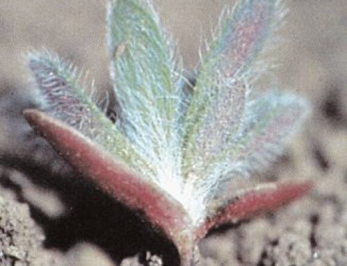
In comparison to the previous few winters, we have received above average snow fall this year. What does this mean for the upcoming growing season? Despite the forecast for moderate spring flooding along the Red River, the snow is giving area growers optimism that this season will be better than the last where widespread drought restricted yields to a level not seen in almost 40 years.
The 2021 growing season
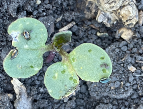
The 2021 growing season was difficult for many. Sparse rain showers spared some areas and blessed them with decent yields. Although yields were below average, strong grain prices helped lessen the hurt. But strong prices do not help if you have little grain to sell. The winter of 2020-21 saw very little snowfall to replenish soil reserves for the 2021 crop. Many producers were able to plant early April which is almost a full month ahead of normal. Low moisture reserves meant the 2021 crop had to rely almost solely on rainfall for its needs. Manitoba’s Hydrologic Forecast Centre report from December on fall conditions stated that from May 1 – Oct 31, most of southern Manitoba received only 50 – 85% of normal rainfall, 50 – 150mm (1.97”- 5.91”) less than normal.
The Red River Valley with its clay soils will typically have 6 – 8 inches of plant available moisture to start the season, with an additional 8 – 12 inches of rainfall moisture under normal conditions.
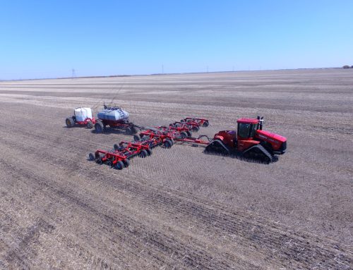
Fall of 2021 brought some much-needed moisture to the Red River Valley. Longer season corn and soybean varieties were able to take advantage of these rains and farmers were able to accomplish a significant amount of fall field work to prepare for the next season. These fall rains also helped replenished soil moisture ahead of the next season.
How much water is in this year’s snow?
Many farmers were getting tired of moving snow every 2nd day this year, but they didn’t complain very loud remembering how dry it was last season. As of January, we were still in a deficit in many areas, but February made up some ground. We are now sitting with above average snowfall, especially if compared with snowfall amounts from the last few seasons. There are still areas of the prairies with significantly lower than average amounts.
To answer the question, we first have to determine how much water is in the snow and even then, it will depend on how it melts and infiltration vs runoff.
Locally, our snow depth in the fields vary between 6 and 15 inches, depending on the snow trap potential. The amount of water in this snow will vary depending on density. Windblown snowpack holds more moisture than light, fluffy, crystallized snow. Early season snowfall also tends to evaporate more than late season snow.
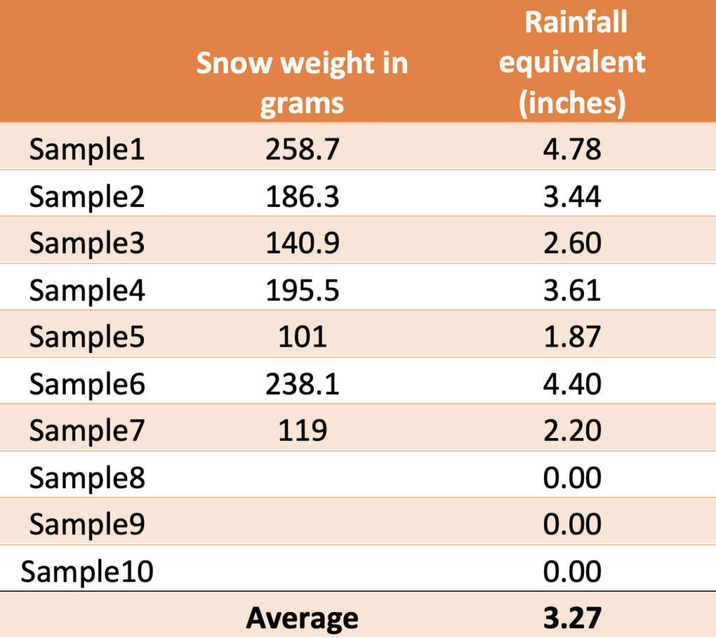
Curious ourselves, we set out last week to determine roughly how much water was in this snow just prior to any significant melting. To figure out available water content, we used a method adapted from the CoCoRAHS Network document:
This method uses a pipe with a 2” inside diameter to collect a number of representative cores. Collect a number of representative samples to get a good field average. Keep the samples in individual bags and use a kitchen scale to measure the weight in grams. It doesn’t matter if the snow has melted.
We then use the following equation to figure out the water equivalent:
- Weight (grams) x 0.0197 (inches/gr) = Water Equivalent (inches)
- Multiply the weight of the collected samples (grams) by a conversion factor of 0.0197 (inches/gr) to get the water equivalent in inches.
- Below is a table with our average levels from one field where we can see amounts vary between 2 and 5 inches of water.
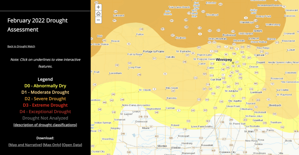
These findings are in line with the recent NWS Spring Flood Forecast briefing. (https://www.weather.gov/media/fgf/floodoutlooks/2022_03_10_briefing.pdf)
What does all this snow mean for next year?
Now that we have determined the water available in the current snowpack, we must ask ourselves how much of this water will be available to the crop this season. Available water will depend how much it infiltrates into the ground vs how much runs off as it melts.
Infiltration rates area dependant on several factors:
- Current soil moisture levels
- Depth and hardness of frost
- How fast the snow melts
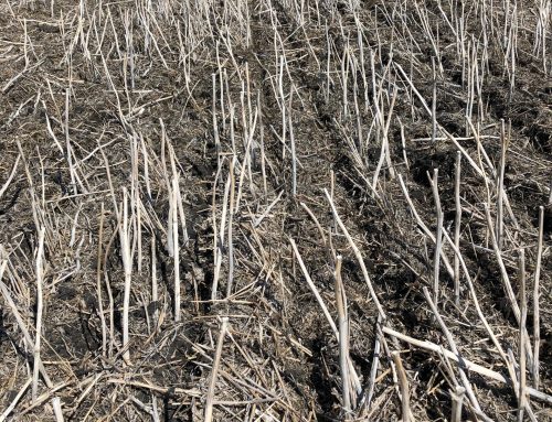
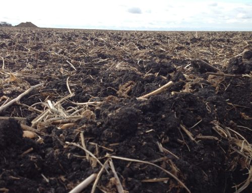
A lack of rainfall last summer left big cracks in the ground 3+ ft deep. Last fall’s rain did manage to seal off the top 6 inches, which may somewhat reduce infiltration potential, especially if it was very wet and froze hard. Snow also tends to have an insulating effect which will limit the depth of frost despite cold weather. Given how dry it was last year, I am still very optimistic that ground cracks will have the ability to absorb a lot of this melt water.
Early spring melting usually means a slower melt. Days are shorter and nights are cooler. Early spring flooding when soils are still frozen, in my experience, really limits the amount of N losses due to denitrification and/or leaching. Late spring floods typically result in significant N losses, especially if the weather is warm when waters recede. Warmer weather also speeds up snow melt and increases runoff.
Chances of significant spring flooding?
While there is still talk of flooding this spring, March has been trending warmer which should result in a slow/early melt. This is favourable in terms of mitigating the risk of significant flooding. Despite an early start to the snow melt, there is still a chance we can receive significant weather that could add precipitation, increasing the potential of significant flooding.